TOC
Making streetplots based on coordinates from Openstreetmap
Source of Data :
*Entire credits to this visualization goest to Christian Burkhart & his awesome tutorial
hungary <- getbb("Budapest Hungary")- Budapest - City of Stars
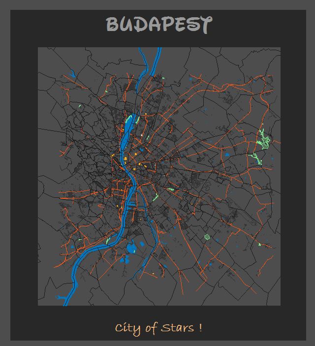
Budapest - Capital of Hungary
comments powered by Disqus